
Our success in creating business solutions is due in part specially to talented committed team.
- Call For Support:+65 6351 5140
- You Can Find Us At: 390 Victoria Street, Singapore - 188061
- Email Now:engage@bimqp.com
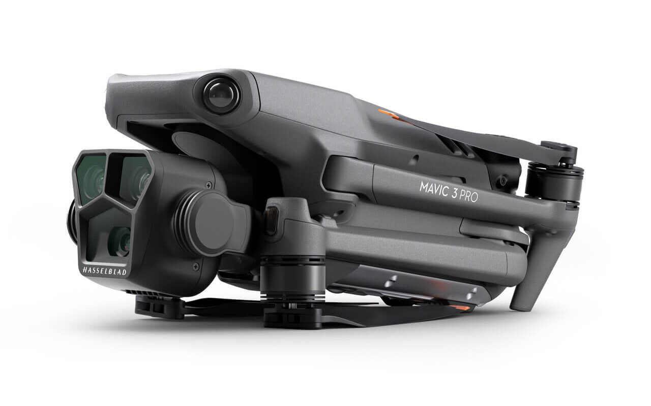
DJI Mavic 3 Pro
4/3 CMOS Hasselblad Camera | Dual Tele Cameras | Cine Only Tri-Camera Apple ProRes Support | 43-Min Max Flight Time | Omnidirectional Obstacle Sensing | 15km HD Video Transmission
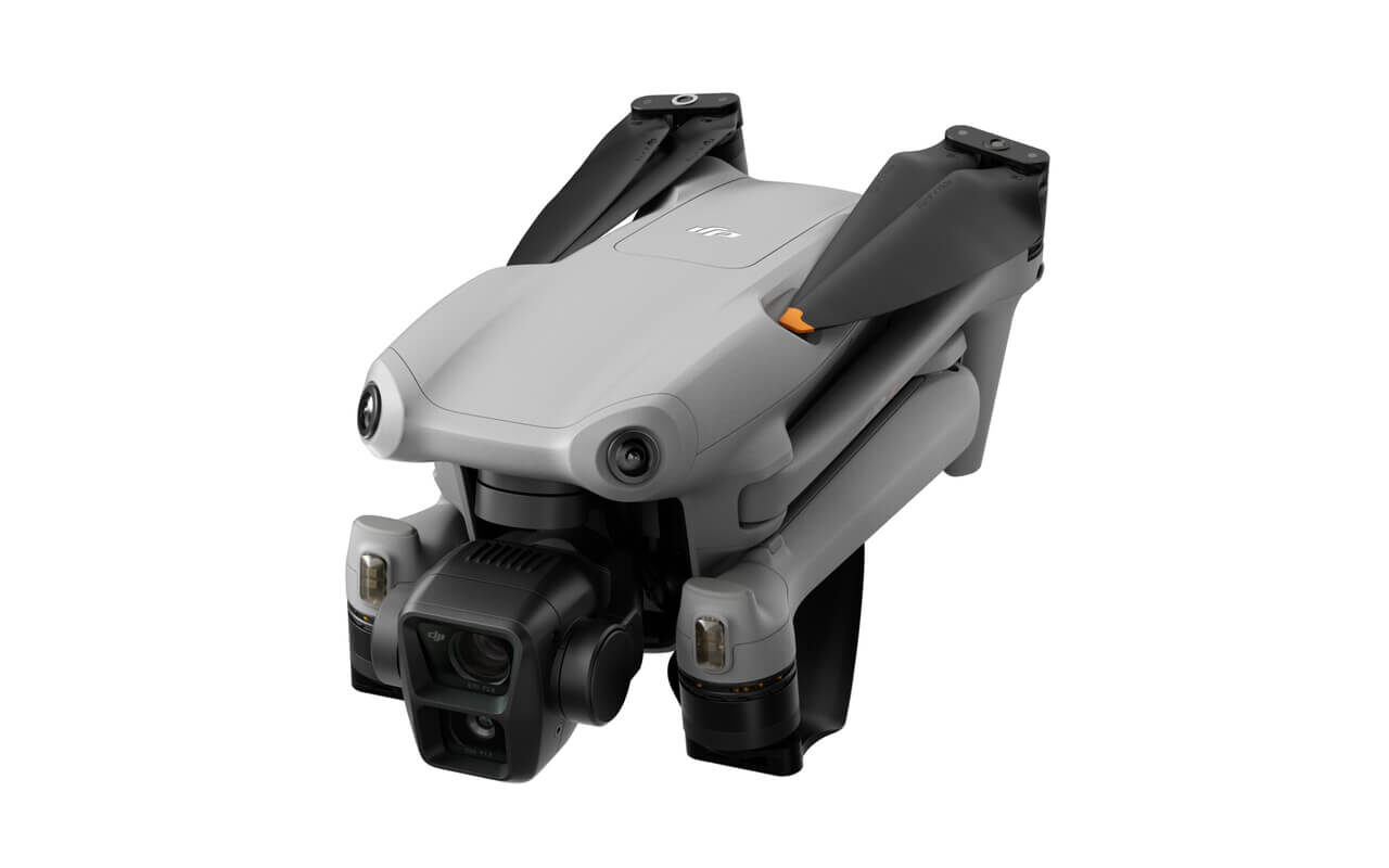
DJI Air 3
Medium Tele & Wide-Angle Dual Primary Cameras | 46-Min Max Flight Time | Omnidirectional Obstacle Sensing | Dual-Camera 48MP Photos | Dual-Camera 4K/60fps HDR Videos | O4 HD Video Transmission.

DJI Mini 4 Pro
Under 249 g | 4K/60fps HDR True Vertical Shooting | Omnidirectional Obstacle Sensing | Extended Battery Life | 20km FHD Video Transmission | ActiveTrack 360°.

DJI Inspire 3
Full-Frame 8K Camera | ProRes RAW & CinemaDNG | Night-Vision FPV Camera | Centimeter-Level RTK Positioning | O3 Pro Video Transmission | Dual-Control Support

DJI Matrice 350 RTK
55 Min Max Flight Time | IP55 Rating | DJI O3 Enterprise Transmission | DJI RC Plus | 400 Battery Cycles | 6-Directional Sensing & Positioning | Night Vision FPV Camera | Multi-Payload Support.

DJI Matrice 30T
Integrated Wide, Zoom, and Infrared cameras with a Laser Rangefinder sensor | IP55 ingress protection, and -20° C~50° C temperature operation range | Lightweight and portable, for those who are mobile | Remote control is tailor-made for enterprise users | 41-Min Max. Flight Time | Compatible with FlightHub 2 for efficient ground-to-cloud synergy | Support remote deployment operations with DJI Dock












Building Inspection
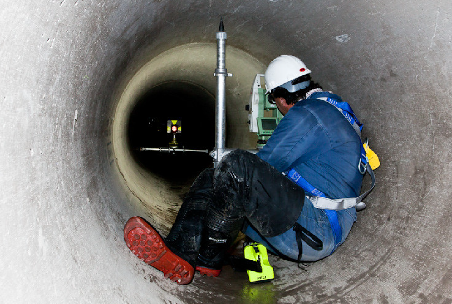
Confined Space Inspection
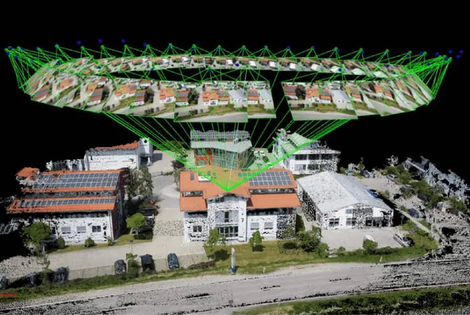
Scan to BIM
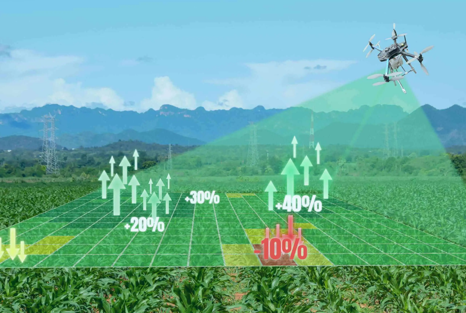
Visual Inspection
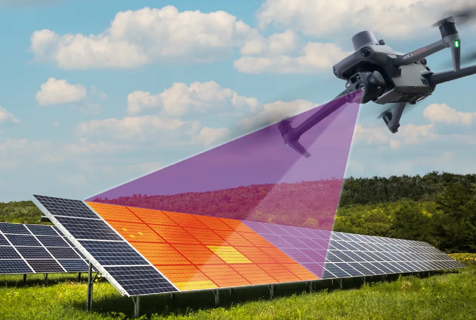
Thermal Inspection
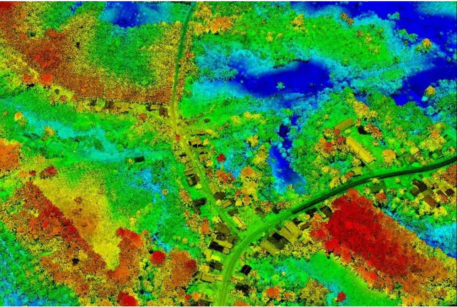
2D/3D Mapping
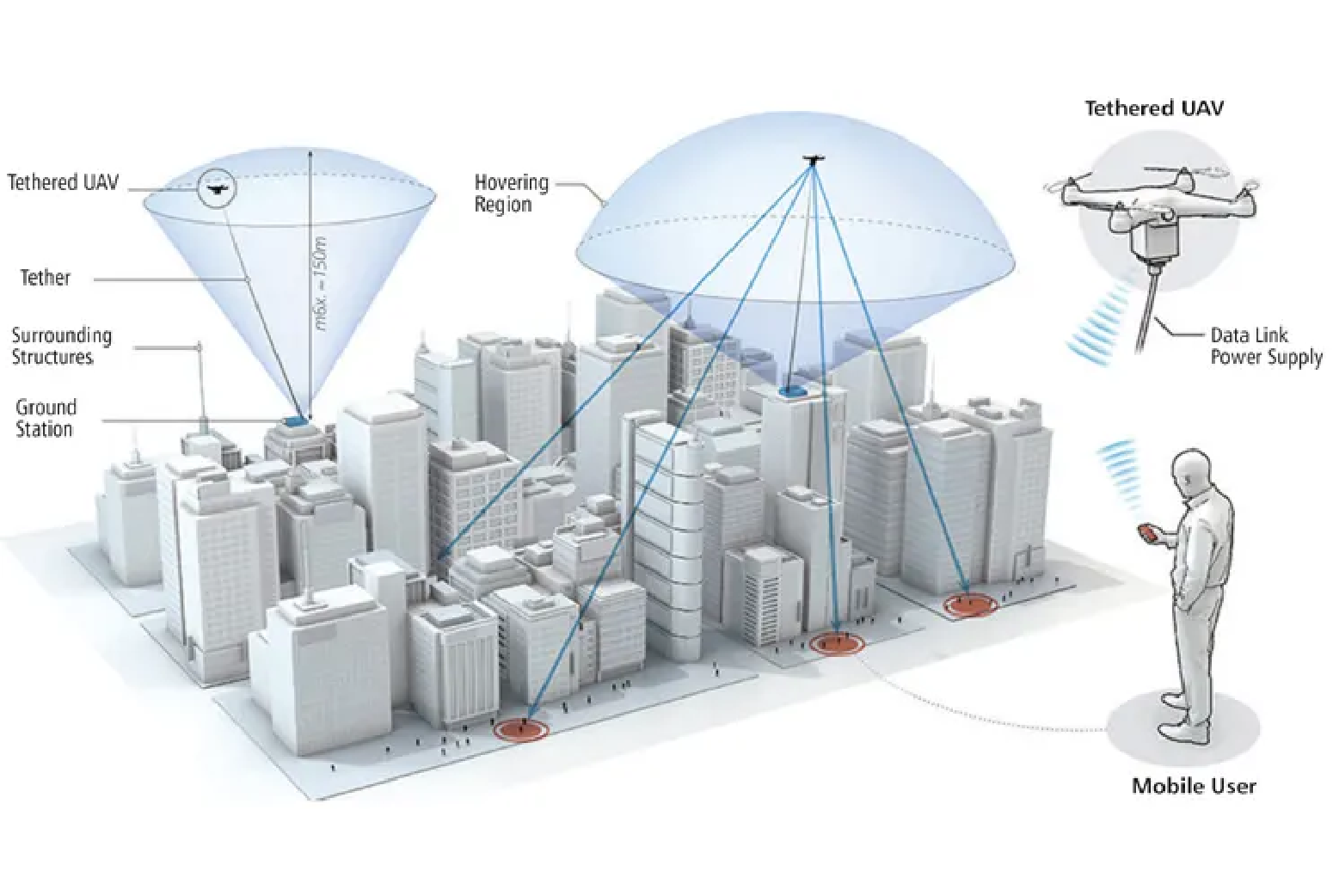
Tethered Drone
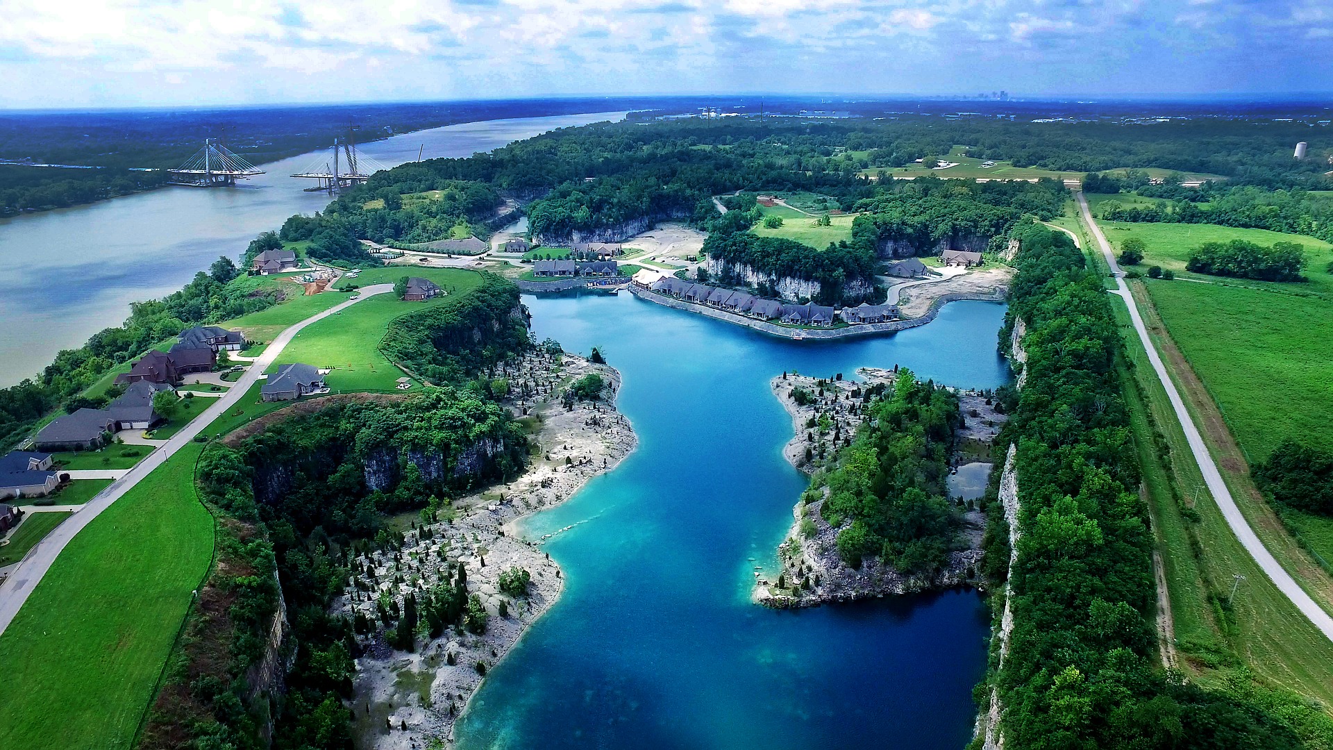
Aerial Photography
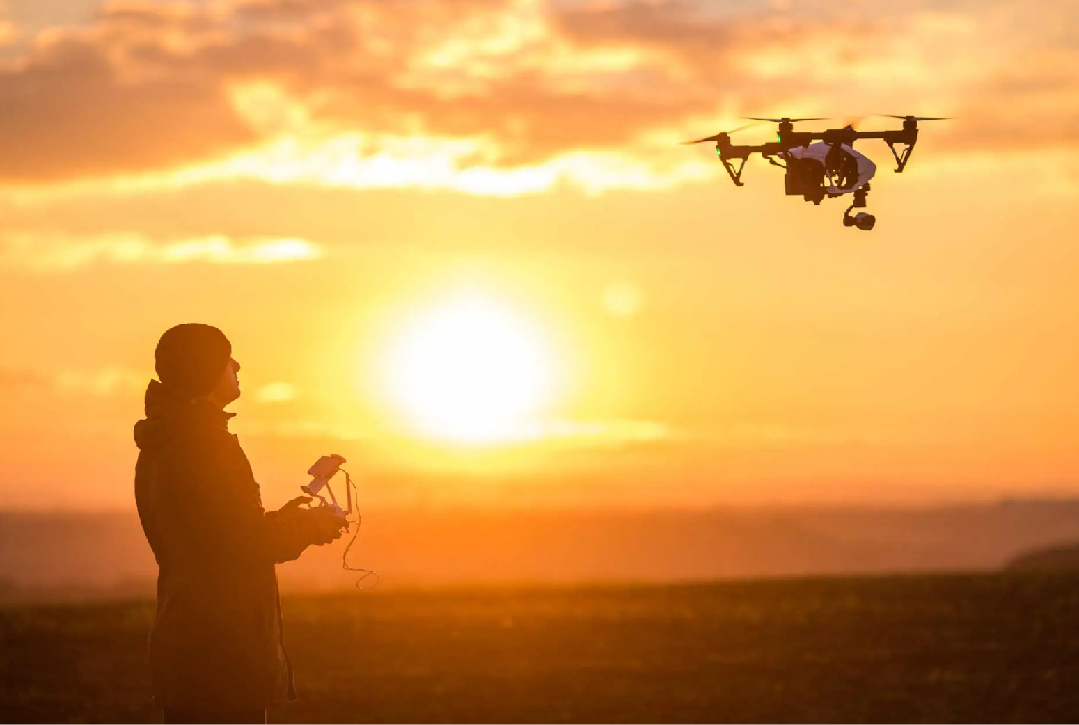
Aerial Videography
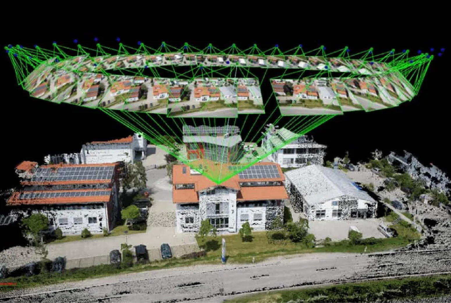
Scan to BIM
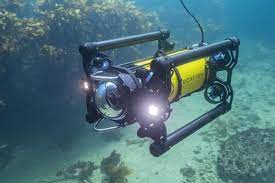
Underwater Inspection
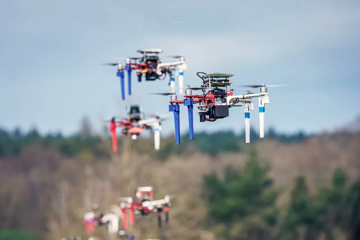
Custom Drones