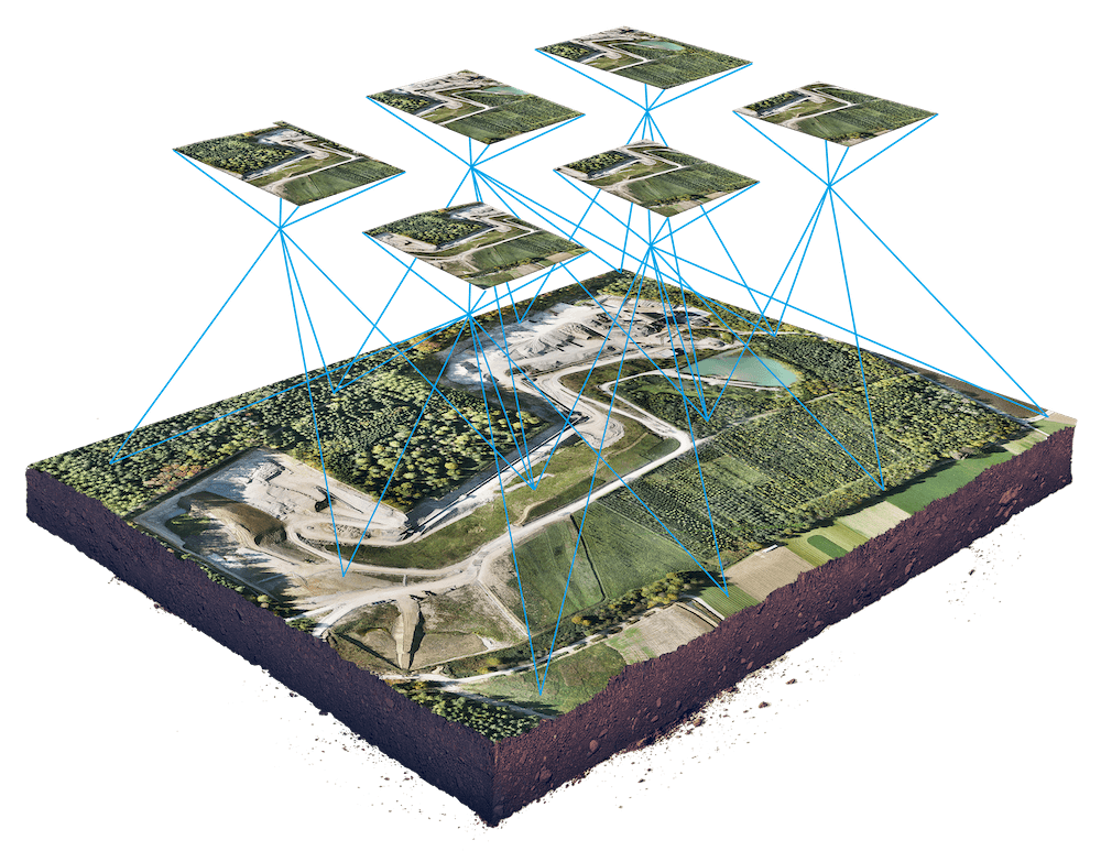
Geographic Information System
Harnessing the potential of the untapped geographic information market to facilitate informed decision-making through spatial data collection, mapping, and analysis.
Consult Our Team:

3D Laser Scanning and surveying Services
Geographic Information System Service
GIS Service
Professional Geographic Information System (GIS) services are provided by BIMQP, which converts spatial data into useful insights. They assist clients in visualizing and analyzing geospatial data associated with particular locations by using GIS software and contemporary geospatial technology. Through precise GIS mapping services and spatial data management, their GIS solutions assist with environmental analysis, infrastructure projects, and urban planning. BIMQP facilitates more intelligent, data-driven decision-making by emphasizing location intelligence. Services also include GIS consulting and field support, aligned with standards like those from the National Remote Sensing Agency. For organizations exploring what is GIS or seeking real-world GIS applications, BIMQP delivers trusted, efficient results.
GIS Consulting
BIMQP provides expert GIS consulting to help organizations make smarter, location-based decisions. We guide clients in using GIS software, geospatial data, and mapping solutions to improve planning and operations. Our team specializes in spatial data management, location intelligence, and applying advanced geospatial technologies to deliver tailored GIS solutions across industries.
Application Design & Development
Application design and development as well. We will help you in delivering high-quality, business application solutions that are scalable, robust, revolutionary, and easy to understand and maintain.
Data Collection & Processing
Geographic data collection and its intelligent processing are crucial to using GIS to the benefit of your business. We at YCSPL will help you in simplifying the way you capture that data and convert it from physical maps and integrations with GPS satellites, field computers, LiDAR, and remote sensors.
GIS Survey
The success of your business project will be determined by a lot of factors including the accuracy of data that are being used by it. GIS-based survey is important and brings all the assets in a single platform.
Aerial Inspection & Surveying
We at BIMQP provide extensive aerial imaging and mapping services for the purpose of inspection and surveying a parcel of land. Navigating complex urban, as well as rural area projects, become much easier and faster with drones bearing high-resolution cameras, video cameras, and thermal imaging cameras.

Photogrammetry
A wide variety of photogrammetric services such as aerial photogrammetry and digital photogrammetric services

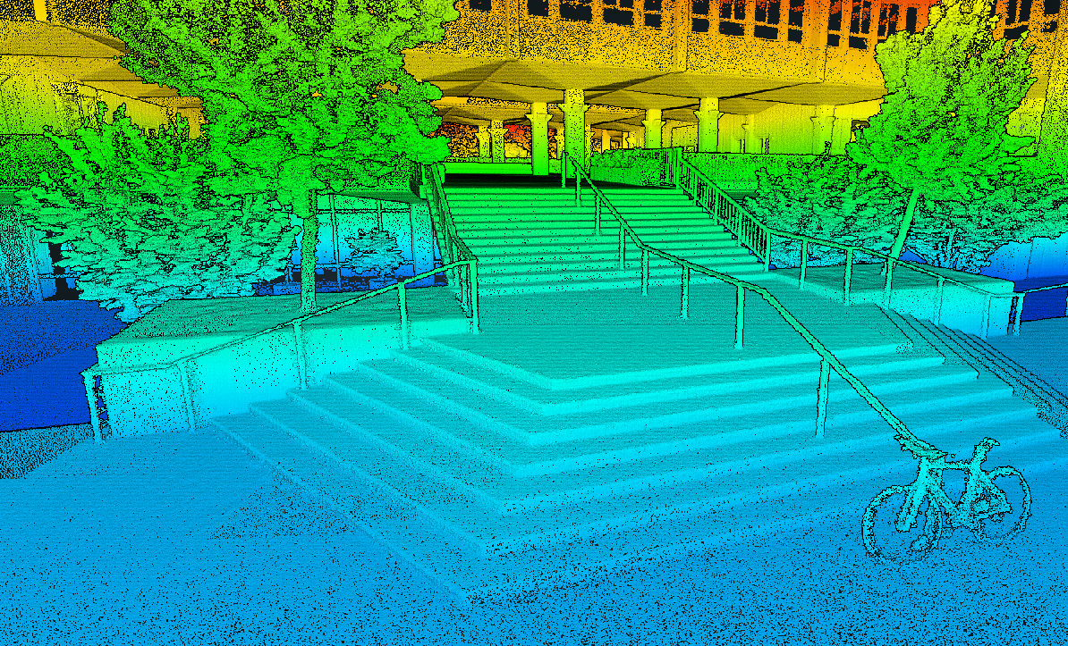
LiDAR Data Processing
Data acquisition, point cloud classification, DTM, DEM and DSM generation, contour generation, ortho generation,

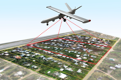
UAV Image Processing
Asset & plant inspections, engineering & construction, mining & resources, thermographic imaging, surveying services

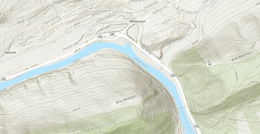
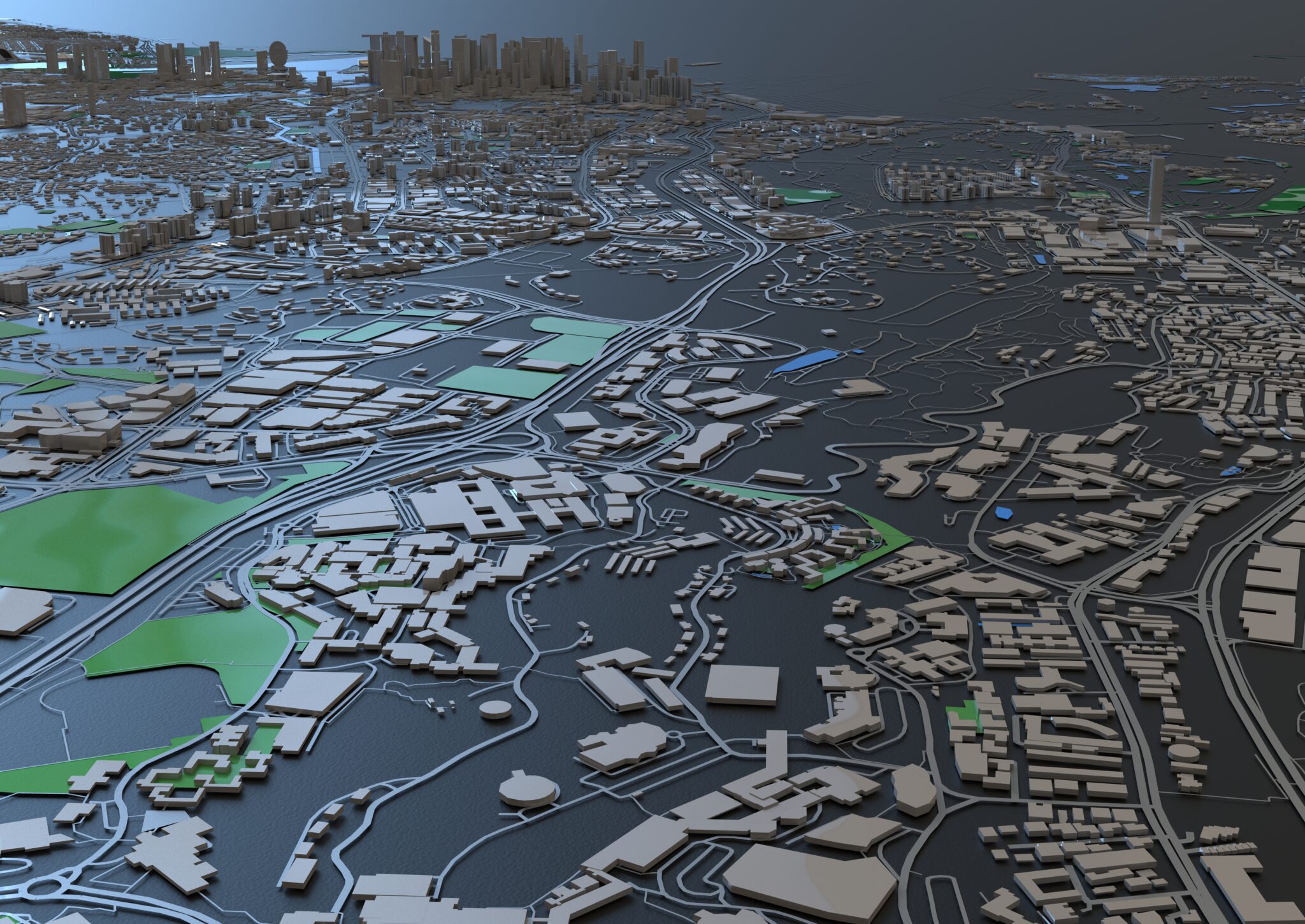
Topographical Mapping
Disaster management, engineering and architectural purposes, route planning, telecom and transport services

Actionable GIS Analytics to empower your Operations
Our exemplary GIS services provide timely information to managers and analysts. We convert data from paper maps to computer files that automates the process using appropriate scanning technologies.
4 Reasons for You to work with Us
Discover expertise and visionary solutions with us. Partner with industry pioneers to elevate your projects through groundbreaking innovation.
With over two decades of leadership experience, we excel in spearheading and implementing BIM solutions. Our extensive portfolio encompasses diverse, high-value projects totaling billions, showcasing our unparalleled expertise and commitment to excellence.
We provide comprehensive solutions, eliminating the need for fragmented services. Our one-stop approach not only streamlines costs but also ensures clients have everything they need, making BIMQP the definitive destination for unparalleled BIM services.
With a foundation rooted in government and corporate experience, we excel in large-scale deployment on a national level. Our extensive knowledge and widespread adoption set us apart for impactful solutions.
We leverage a diverse range of software and technologies tailored to your project's unique requirements, following a project-centric approach for optimal outcomes.